|
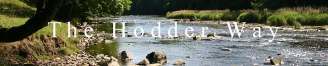
WELCOME TO THE HODDER WAY WALK:
INTRODUCTORY NOTES
Author : Peter Dobson
(H.Q.)
SD560368 : About see Peter
Laurence Photography LRPS
Work began on the route in Aug 2003
It has been written up and kindly tested by friends from Kendal
Mountain Rescue Team
You are welcome to download and use the description
and maps
BASIC FACTS
It is free to download for personal use.It may not
be published, distributed copied or sold.
It uses existing public footpaths and some concessionary paths
where it allows closer access to the
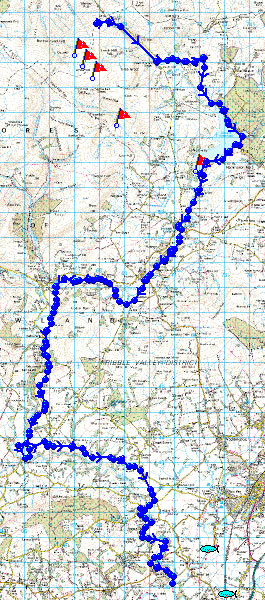
River Hodder. It starts from the source near the cross of Greet
and follows the developing hodder stream
over what is now open access land.
Length of Walk 40 Kilometres (25 Miles) Approx.
Undulating Walk with some short steep Ascents / Ground Boggy in
Places.
Starting Height 427 Metres approx also the highest point.
OS Map required Sheet 103 or 1:25000 map Bowland series.
To see pictures of the the Forest of Bowland by landscape photgrapher
Peter Laurence
please click the link below
http://www.plaurence.co.uk/portfolio/Bowland/index.html
|